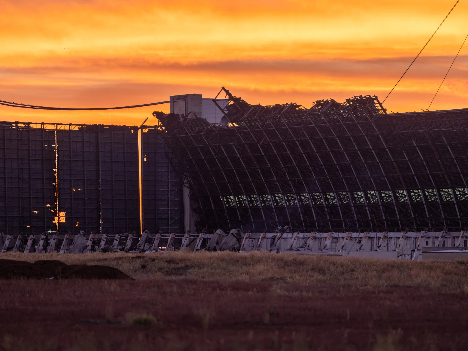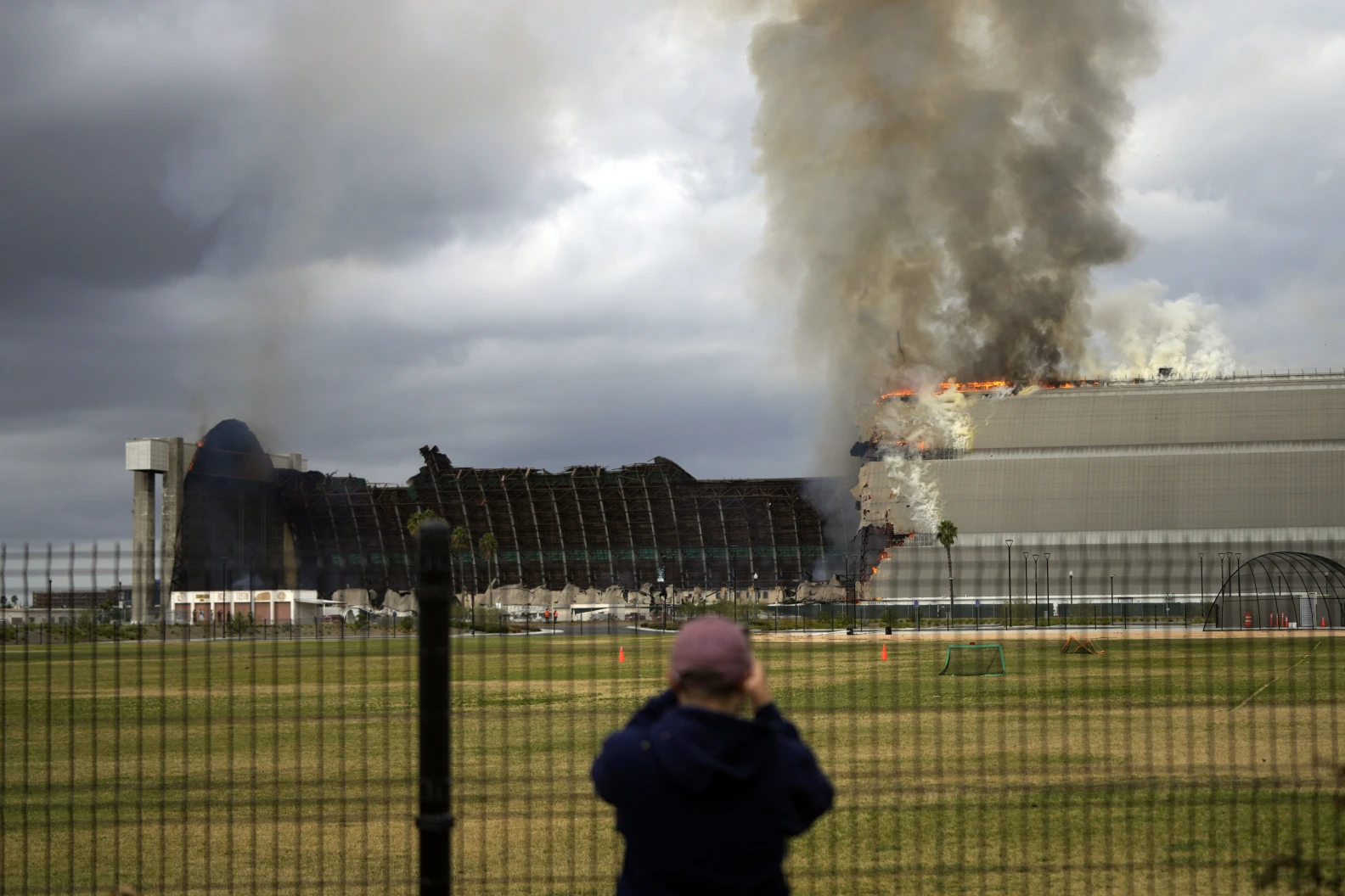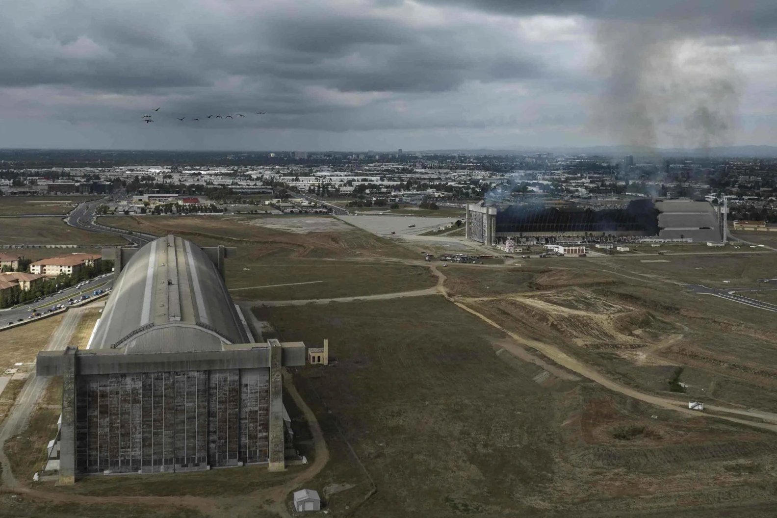


 Eight months ago, a fire broke out at a massive World War II-era hangar in Tustin, spewing toxic smoke into the air and sending asbestos-laden debris raining over the surrounding communities. LAist has now mapped just how far and wide that debris fell and which neighborhoods bore the brunt of the fallout, based on data obtained by LAist from the city of Tustin.
The data illustrate the chaotic nature of the cleanup, and the panic and frustration felt by many residents as they sought help and guidance in navigating a major disaster. It affected an estimated 14,000 people and had potentially serious health consequences.
In all, the records show people reported ash and debris from the fire as far as 10 miles from the hangar, although the vast majority of reports were within three miles.
Explore the map
debris
Warmer colors (yellow, orange, red) indicate more reports in a given area
© OpenMapTiles © OpenStreetMap contributors
This map is based on data acquired through public records requested from the city of Tustin. An LAist analysis found that suspected ash or debris from the fire was reported by members of the public or city contractors at nearly 1,400 locations and up to 10 miles away.
https://laist.com/news/specials/laist-investigation-tustin-hangar-fire-ash-debris-map
